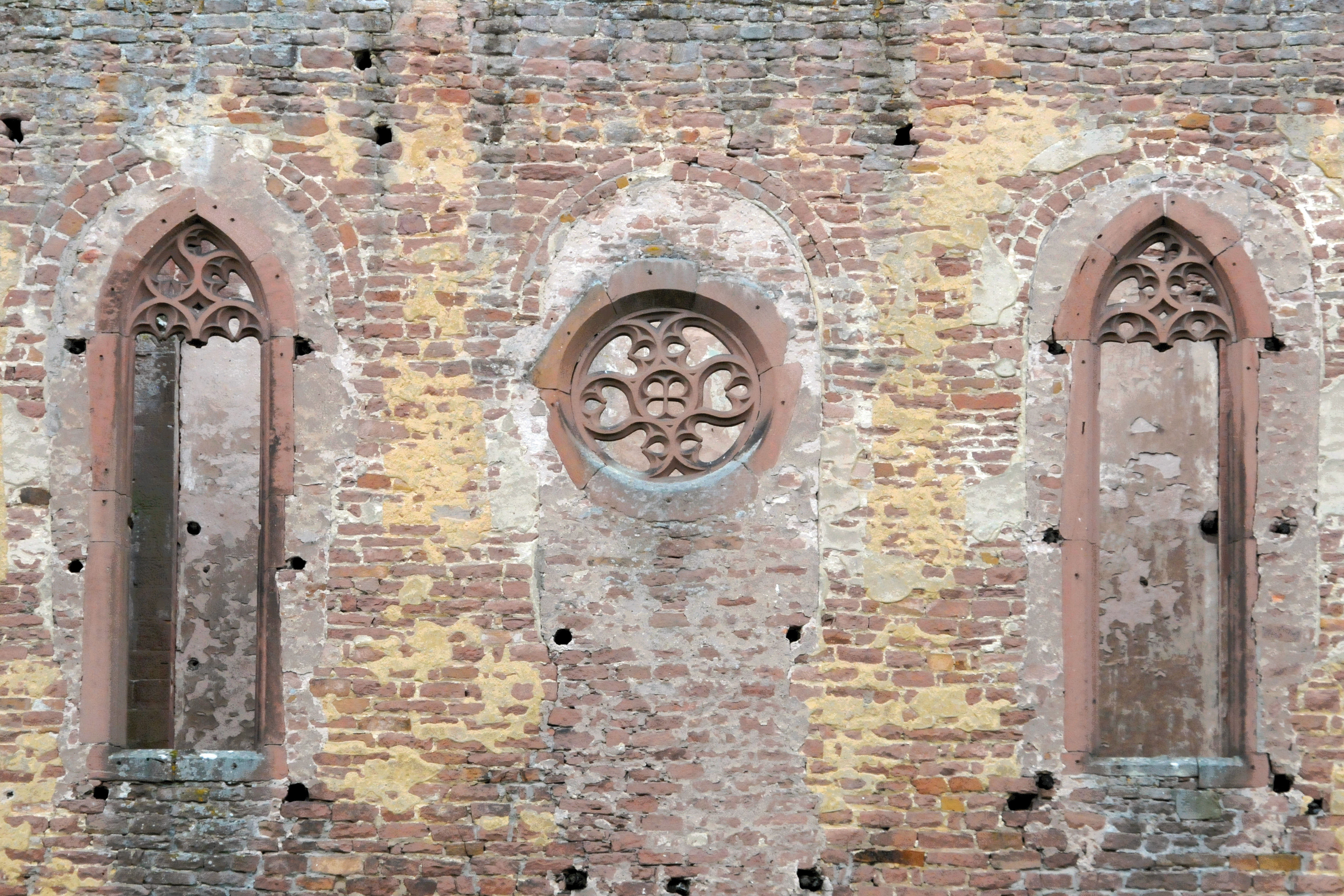
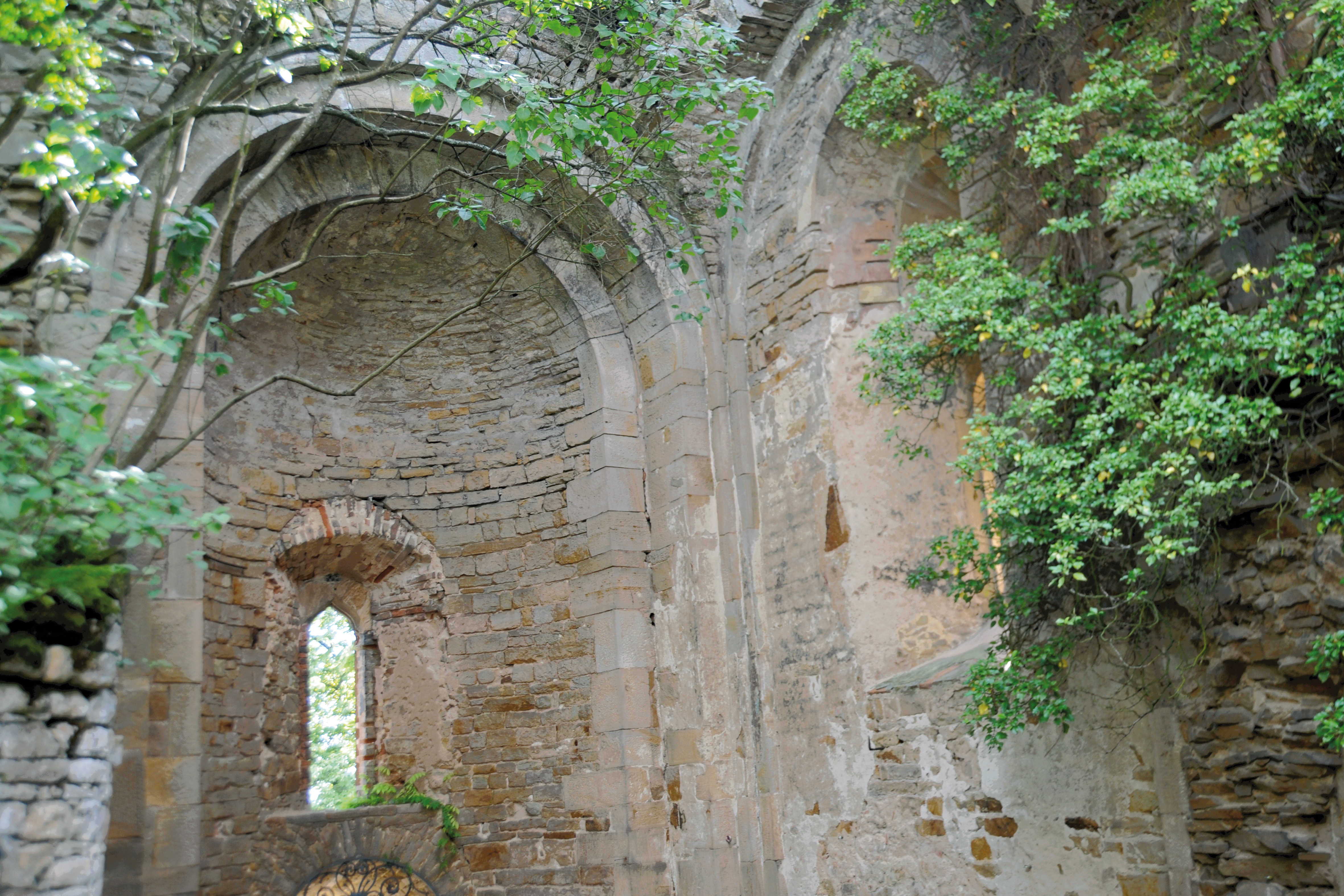
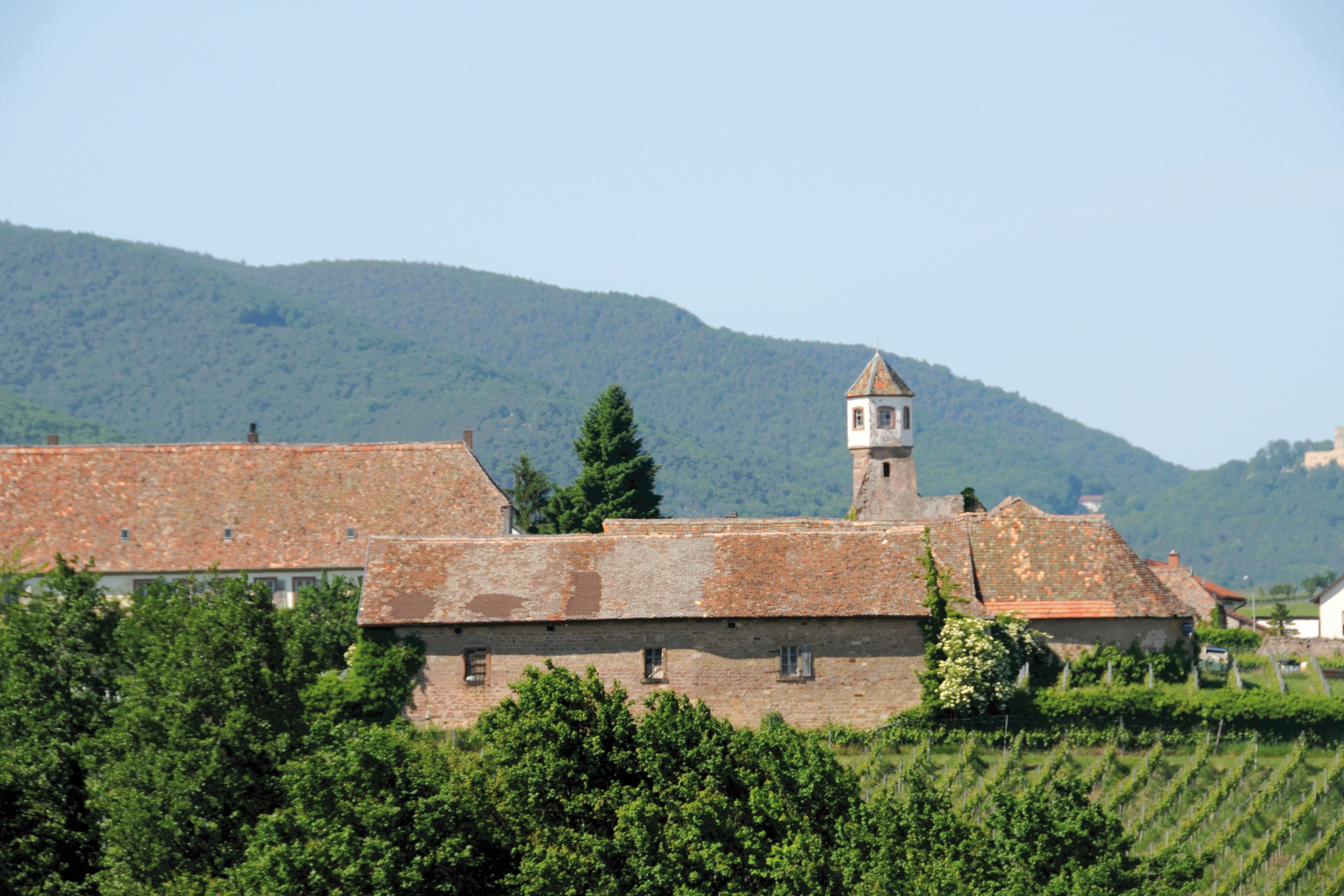
With the so-called “Haardt axis”, the Starry Path/Chemin des étoiles project crystallizes an imaginary connecting line from the starting point of the old bishop’s seat of Worms along the Haardt Mountains towards Strasbourg. The route essentially corresponds to today’s road layout and leads from Bingen and Alzey or from Worms via Bad Dürkheim, past Neustadt, Landau, Bad Bergzabern and via Wissembourg into Alsace. It includes parts of the Palatinate Forest and the German Wine Route. With around 80 recorded medieval cultural monuments, it is characterized by a particularly high density of historical points of reference - from (former) monasteries and churches to castle ruins and Hambach Castle. Historical sources also confirm this route as a “pilgrimage route”. For example, a document from 1494 confirms that Deidesheim was located on a “common pilgrimage route” that connected the Rhineland and Rhine-Hesse with Alsace along the “mountain”. There is also documentary evidence that Rhodt unter der Rietburg had a Brotherhood of St. James in the Middle Ages. This route is not yet officially marked as a pilgrimage route.
You can discover all the recorded medieval gems along the Haardt axis on the interactive map. A wide range of existing hiking trails allows you to explore the individually selected medieval destinations on your own, with a spirit of discovery and curiosity.