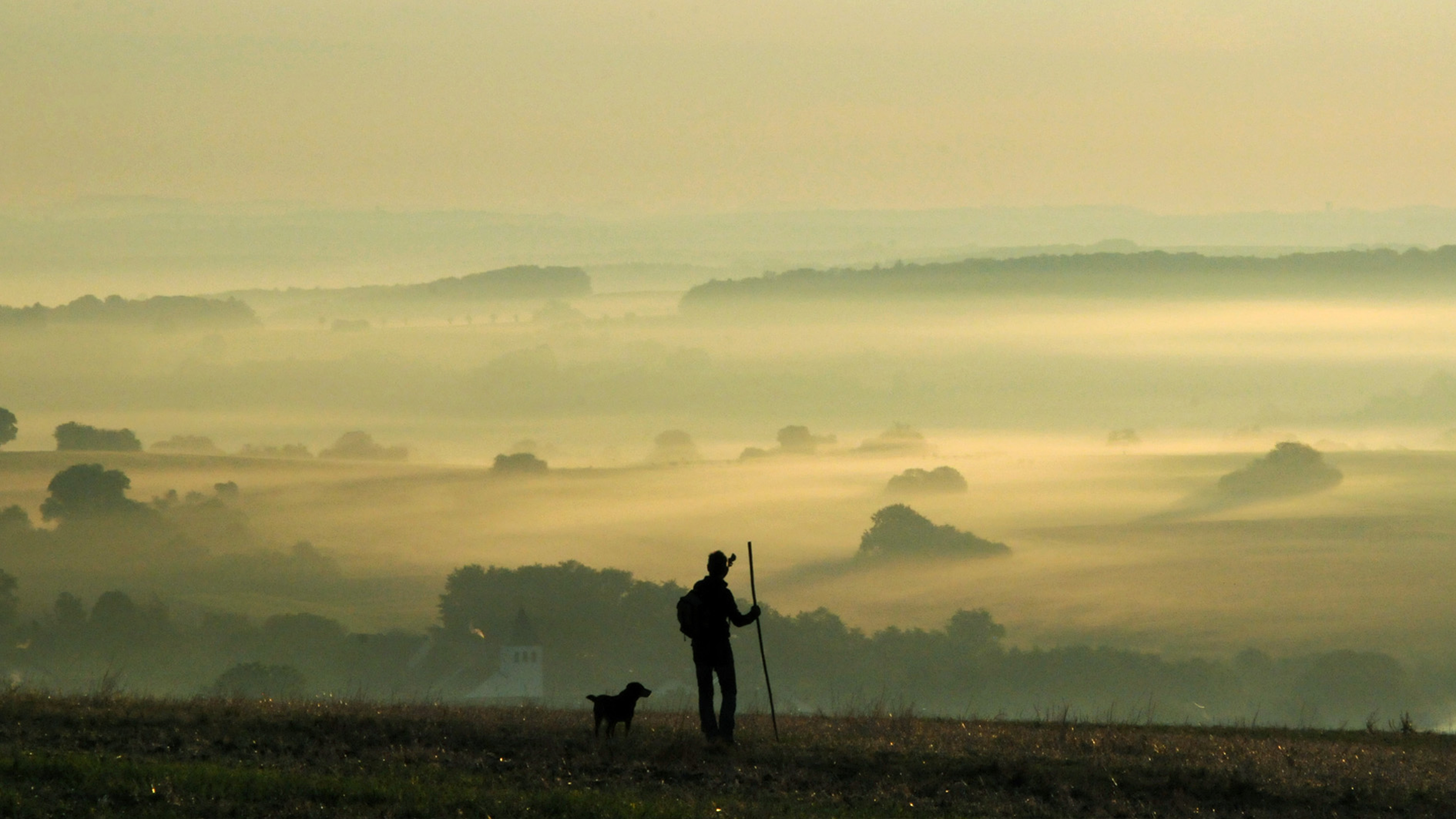
Multifaceted natural & cultural landscapes in the heart of Europe
The project area stretches along part of the rediscovered medieval ways of St. James, which was named the first European cultural route in 1987 and declared a UNESCO World Heritage Site in 1993. The routes included in the project, the so-called Starry Paths, run between the old episcopal seats of Mainz, Worms, Speyer, Metz and Strasbourg in the direction of Thann, which were already among the major junctions and gathering points for pilgrims on the Way of St. James in the Middle Ages.
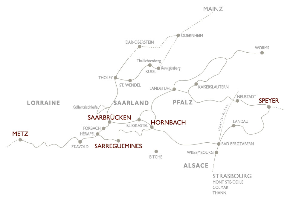
The varied routes cover more than 1,600 kilometers of paths, which are lined with numerous medieval cultural monuments . Crossing borders, they lead through the Palatinate Uplands and German Wine Route regions, along the Haardt into neighboring Alsace through the Palatinate Forest-North Vosges UNESCO Biosphere Reserve. In the north, they lead us from the Rhine, along the Nahe and the Glans, through the Saar-Hunsrück Nature Park, through the Saargau via the Saarbrücken junction, along the Lorraine coal basin to Metz. The northern and southern routes in Saarland wind like a red thread through the Bliesgau UNESCO biosphere reserve.
Reason enough to set off to explore the different natural areas and regional characteristics and get to know the most diverse cultures, rituals, mentalities and people - French and German, Saarland and Rhineland-Palatinate, Alsace and Lorraine.
With the help of our interactive map , you can plan your own individual routes, both on the marked paths of the pilgrims and to the stone witnesses of the Middle Ages in the surrounding area.